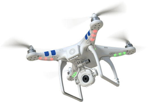
Wind Turbine Inspection

Wind Turbine Inspection

Our drone-based wind turbine inspections offer a safer, faster, and cost-effective solution to ensure optimal turbine performance.

  • High-resolution imaging for detailed inspections
  • Thermal detection of overheating components
  • Identification of cracks and corrosion
  • Reduced downtime and enhanced safety
  • Prolongs turbine lifespan and improves efficiency
Solar Panel Inspection

Solar Panel Inspection

Our drone-based solar panel inspections ensure maximum energy efficiency and system reliability.

  • Thermal imaging for hotspot detection
  • Identification of cracks and defective cells
  • Detection of dirt buildup and shading issues
  • Non-invasive approach minimizes downtime
  • Optimizes solar power generation
Industrial Inspection

Industrial Inspection

Our drone solutions revolutionize industrial inspections by providing high-precision data for hard-to-reach and hazardous areas.

  • Detailed visual and thermal imagery
  • Inspection of pipelines, storage tanks, and chimneys
  • Identification of defects, leaks, and wear
  • Safer operations with minimized downtime
  • Actionable insights for preventive maintenance
Aerial Mapping

Aerial Mapping

Our drone-based aerial mapping services offer precise, high-resolution geospatial data for a variety of applications.

  • Advanced photogrammetry techniques
  • Detailed 2D and 3D maps
  • Applications in construction and land surveying
  • Environmental monitoring capabilities
  • Cost-effective and time-saving solution
Confined Space Inspection

Confined Space Inspection

Our drone solutions revolutionize confined space inspections by safely accessing challenging, high-risk environments.

  • Specialized cameras and sensors
  • Inspection of tanks, silos, vents, and pipes
  • Identification of structural defects and corrosion
  • Minimizes risk to personnel
  • Comprehensive, real-time insights
Power Line Inspection

Power Line Inspection

Our advanced drone technology transforms power line inspections by ensuring safety, precision, and efficiency.

  • High-resolution cameras and thermal imaging
  • Identification of damaged conductors
  • Detection of insulation faults
  • Vegetation encroachment monitoring
  • Reduced operational risks and downtime
LiDAR Mapping

LiDAR Mapping

Our LiDAR mapping services leverage cutting-edge drone technology to capture highly accurate, detailed 3D data.

  • Precise topographic maps and models
  • Applications in land surveying and forestry
  • Urban planning and infrastructure development
  • Penetrates vegetation in any weather
  • Unmatched efficiency and precision
Highway Road Inspection

Highway Road Inspection

Our drone-powered highway road inspections provide a faster, safer, and more accurate way to assess road conditions.

  • High-resolution cameras and LiDAR sensors
  • Detection of cracks, potholes, and wear
  • Road surface deterioration assessment
  • Rapid assessments with minimal traffic disruption
  • Timely maintenance planning
Disaster Management

Disaster Management

Our drone solutions play a critical role in disaster management, especially during floods and other emergencies.

  • High-resolution cameras and thermal sensors
  • Real-time aerial imagery for damage assessment
  • Flood extent and infrastructure damage evaluation
  • Efficient resource deployment
  • Improved response times with minimal risk
Mine Survey

Mine Survey

Our drone-powered mine surveys provide accurate, real-time data for efficient mining operations.

  • High-resolution cameras and LiDAR technology
  • Precise topographic maps and volume calculations
  • Detailed 3D models of mine sites
  • Safer, faster surveys with reduced operational risks
  • Enhanced resource management

Ready to Transform Your Operations?

Contact Us Today